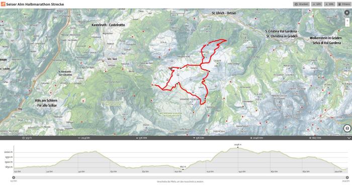
The running track was official measured from the Italian Federation of Competitive Athletics (FIDAL) with 21,097 km. The first 3 km are on asphalt road, the rest of the half marathon is on gravel and forest roads. Start on 1800m - 601m of altitude difference – highest point of the half marathon 2050m.
In conformity with IAAF/FIDAL regulations, refreshment stations are located at every 5 kilometers along the route. All the refreshment stations will be supplied with water, fruit and biscuits. Every single kilometer is indicated on a chard. There is a control point at every crossroad.
Seiser Alm Half Marathon Route - Interactive Map
Click to see the interactive map
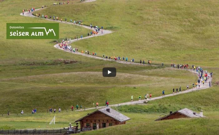
3D Track - Seiser Alm Half Marathon
Click to see the full video